Check Route, Cost, Travel Time
Home
Business
Bengaluru-Chennai Expressway Set To Open On This Date: Check Route, Cost, Travel Time
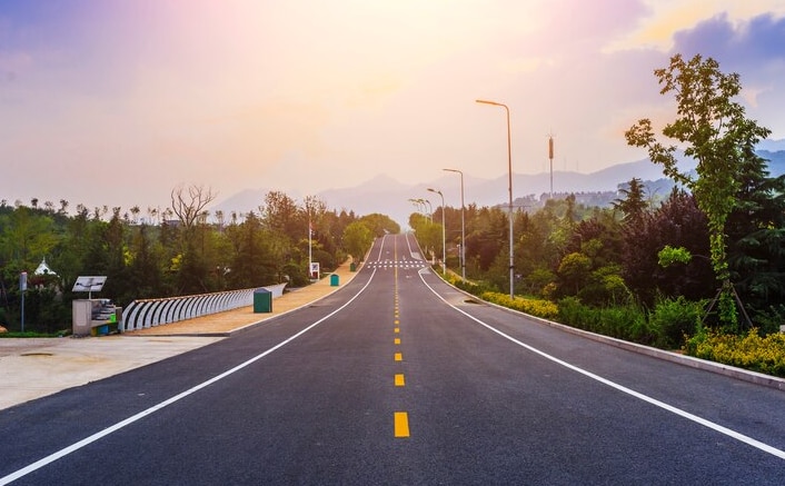
Once the Bengaluru-Chennai Expressway is operational, the 262 km-long expressway will reduce travel time between the two cities to only two hours.
The expressway project linking Chennai to Bangalore will connect the three states of South India.
Bengaluru: Union Road Transport Minister Nitin Gadkari last week announced that the Bengaluru-Chennai greenfield (new) expressway will be inaugurated by Prime Minister Narendra Modi before December this year. He had earlier stated that the estimated time of completion was March 2024. Once it is operational, the 262 km-long expressway will reduce travel time between the two cities to only two hours.
All You Need to Know About Bengaluru-Chennai Expressway:
The expressway project linking Chennai to Bangalore will connect the three states of South India. Developed under the Bharatmala Pariyojana program, the expressway is an umbrella programme for the highway sectors of India that seek to optimize the efficiency of passenger and freight movement across the country.
Bengaluru-Chennai Expressway Features
The Bengaluru-Chennai Expressway is a significant project and it is the first time the National Highway Authority of India is developing an expressway in the Southern states.
The travel time will be reduced significantly between the two cities- Bangalore and Chennai to 2.15 hours.
The distance between the cities is reduced by 80 km. The permitted speed on the expressway is 120km/hr.
The expressway will ensure smooth traffic and more safety on the road.
The expressway will enhance the Chennai Bangalore Industrial Corridor, which aims to boost the area’s manufacturing sector.
The expressway will have many significant amenities like truck bays, underpasses for vehicles and animals, and pedestrian and traffic administration systems.
Bengaluru-Chennai Expressway Routes Map
Right now, there are three more routes Hosur and Krishnagiri (Golden Quadrilateral), Old Madras Road, and the third route passes through Kolar-KGF-V Kota and Vellore.
The Golden Quadrilateral is the most used of these three routes in this expressway, which is approximately 380 km between the two cities. With the new upcoming expressway, the distance will be reduced, and travel will also be smoother and safer.
This expressway will pass through three states such as Karnataka, Andhra Pradesh and Tamil Nadu and cities such as Hoskote, Malur, Bangarapet, Kolar Gold Fields, Venkatagirikota, Palamaner, Bangarupalem, Chittoor, Ranipet, and Sriperumbudur lie on the Chennai Bangalore Expressway route.
Bengaluru-Chennai Expressway Total Cost
The National Highway Authority of India is constructing the expressway at an estimated cost of Rs 18,000 crore in total. Out of Rs 18,000 crore, Rs 5700 crore will be used to construct the expressway. The remaining fund will be used for land acquisition, toll gate mechanism system, project administration.
<!–
Comments – Join the Discussion
–>


